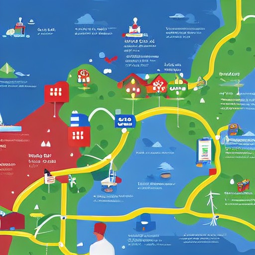
Google has unveiled new artificial intelligence features designed to enhance its mapping and geospatial apps with enhanced visual and data analytics capabilities. One feature allows users, particularly in the enterprise sector, to create realistic scenes within Google Street View by simply typing a prompt into Gemini Enterprise Agent Platform.
The company is also expanding the ways users can analyze satellite imagery stored on Google Cloud’s BigQuery platform through the new Aerial and Satellite Insights feature. This cuts down laborious data analysis from weeks to mere minutes, increasing efficiency in geospatial projects.
Additionally, two new Earth AI Imagery models have been launched, which are trained to identify specific objects like bridges, roads, and power lines within imagery. Before these models, companies needed months to train their own systems, a process that is now streamlined with Google’s offerings.
The announcements reflect Google's broader push into enterprise geospatial AI and its platform is already being used by partners such as Airbus and Boston Children's Hospital for applications ranging from environmental monitoring to disaster response. These updates open up new possibilities for businesses, data analysts, and urban planners, but will they ever help me find the fastest route home?