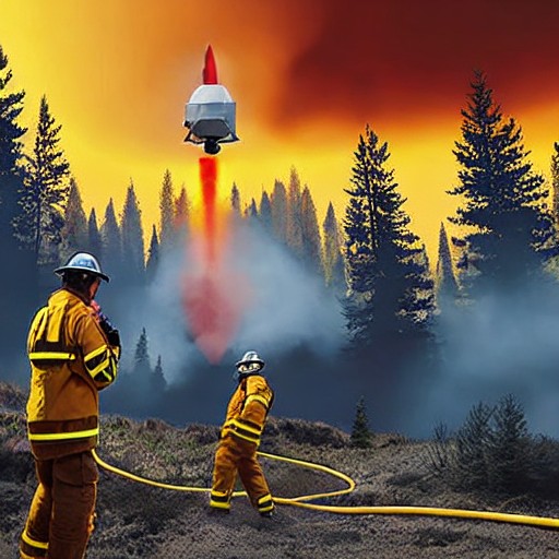
As thick plumes of smoke from hundreds of burning wildfires spread across North America, the first three operational FireSat microsatellites have successfully launched into orbit. These satellites, backed by Google and other financial supporters, aim to provide early detection for even the smallest fires in key fire-prone regions.
The launch marks a significant step in wildfire management, with each satellite equipped with multispectral imaging capable of spotting fires as small as 16 square feet through smoke and clouds. After initial testing, these satellites will begin providing daily updates to fire agencies across the United States, Australia and Europe.
FireSat is the first satellite constellation purpose-built for detecting wildfires, addressing gaps in current technology that often miss smaller blazes. The program, managed by the nonprofit Earth Fire Alliance, has already secured over $15 million from Google, with contributions from other notable entities such as the Bezos Earth Fund.
Organizations like fire agencies in California and Colorado will be among the first to benefit from this technology this year, with plans for hourly updates on a fully launched constellation by 2030. The full network of over 50 satellites aims to provide real-time imagery every 20 minutes, potentially revolutionizing wildfire management globally.