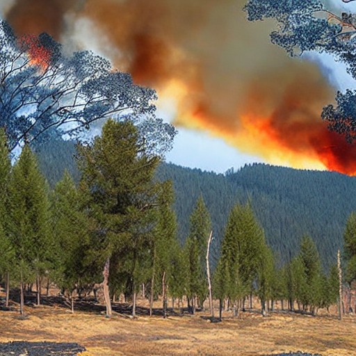
The European Space Agency's Copernicus Browser has made it easier than ever to track wildfires with its latest 'wildfires' visualization layer. This update, born from a nearly decade-old script by Pierre Markuse, allows anyone to see active fires in white or yellow and burned landscapes in dark brown.
Using the power of multi-spectral bands, the browser highlights burning vegetation in red and shows moisture levels in the soil through short-wave infrared 2 band. This new layer has already helped monitor recent wildfires across Europe and beyond.
Markuse's script combines visible light with near-infrared to distinguish between healthy and burned vegetation, making it a powerful tool for environmental monitoring. The accessibility of this technology means that anyone can contribute to wildfire tracking, potentially saving lives and resources in affected areas.
The Copernicus Browser has been available since 2018, offering free access to Sentinel-2 satellite imagery with various visualization layers. With the addition of the wildfires layer, it now provides a clearer picture of Earth's changing landscapes due to natural disasters and human activity alike.